Visualize geospatial data with centimeter accuracy
- Trace underground grids
- Avoid damages during excavation
- Avoid costly design errors
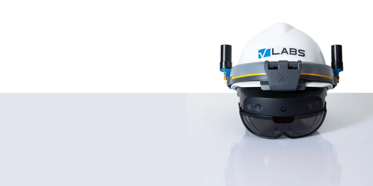
A unique solution that provides driftless, centimeter accurate visualization and acquisition
of geospatial data in the field. Combined with work instructions and remote assistance,
it empowers you to further digitize field operations, improve data quality and optimize
quality control.
Why we are unique:

We help surveyors, contractors and engineers to visualize and measure geospatial data with centimeter accuracy in the field by using GNSS/RTK-integrated augmented reality glasses. In combination with our feature for step-by-step work instructions we have developed a powerful, hands-free tool that helps operators to simplify and improve the quality of their work. Our efficient hands-free and easy-to-use solution increases performance while reducing costs and safety risks.
OUR PRODUCT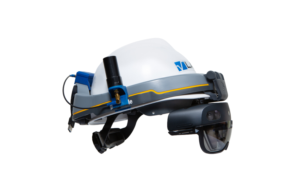
Why choose us
With the Microsoft Hololens 2, we combine the best AR-technology currently available on the market with unique, lightweight, dual antenna GNSS/RTK-technology and a software solution specially designed for AR-headsets. Our solution provides our customers with an industry leading, hands-free, technology that allows them to further digitize field work and increase performance while saving money and reducing safety risks.
Our technology supports DXF, DWG, BIM (IFC), KML and ESRI ArcGIS online and ArcGIS enterprise for optimal IT-integration.
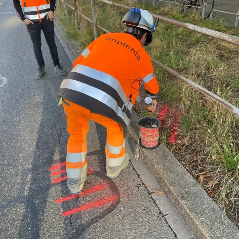
With our technology our users can visualize geospatial data (GIS, BIM and CAD) with centimeter (or inch) accuracy in the field. This allows surveyors, contractors, engineers to optimize their fieldwork, avoid errors during civil engineering work and reduce safety risks.
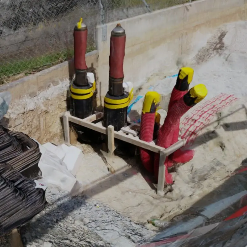
We help surveyors, contractors and engineers to visualize, modify and acquire geospatial data with centimeter accuracy in the field by using GNSS/RTK-integrated augmented reality glasses. In combination with our feature for step-by-step work instructions we havedeveloped a powerful tool that helps operators to simplify their work and improve quality. Our efficient hands-free and easy-to-use solution increases performance while reducing costs and safety risks.
Get in touch
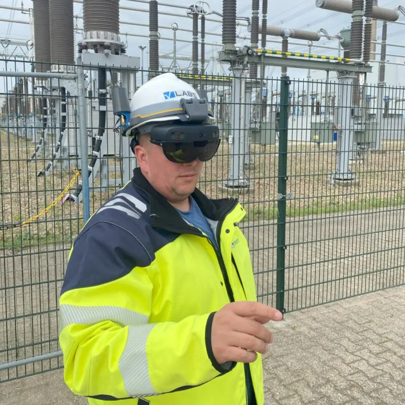
Guide field operators through their maintenance and installation work with our dedicated Augmented Reality technology for work instructions and remote assistance. Our unique solution allows you to combine your maintenance processes with geospatial data (for example to localize assets) and optimize your field work.
Our technology helps you optimize quality control while improving data quality by digitizing field operations and capturing data during operational tasks. It helps operators to avoid human errors and reduce accidents in the field.
Get in touch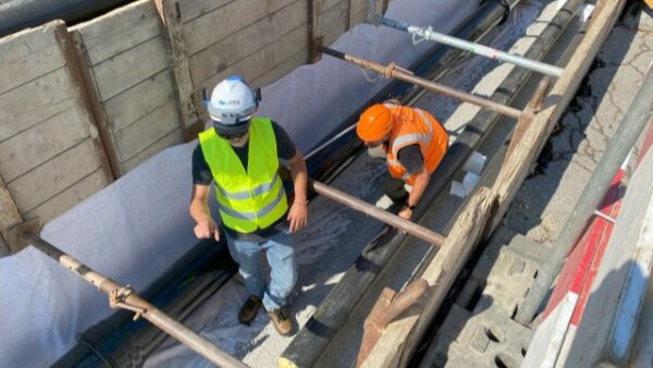
Visualize and measure geospatial data with centimeter accuracy in the field: Create digital twins of the underground and outsource surveying tasks directly to operators in the field to save time, money and travel related CO2 emissions while improving your data quality.
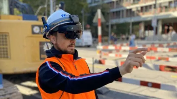
Visualize your 3D models with centimeter accuracy on a construction site to avoid errors during the design phase, detect errors during construction to avoid costly rework and simplify communication with field operators. Furthermore, capture 3D information from the field at the closeout of your project to streamline the final stages of your project.
Digitize your fieldwork and avoid the lack of qualified technical personnel by providing remote assistance and step-by-step work instructions. Leverage our automatic quality control functionality to reduce costs and improve data quality.
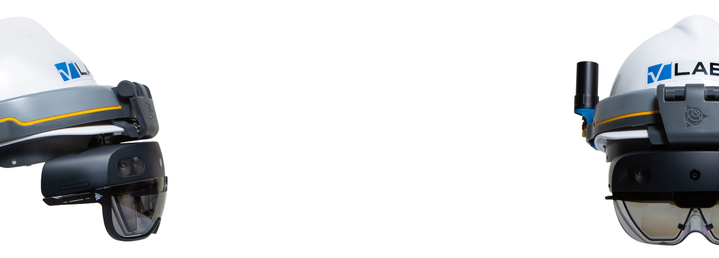
We help surveyors, contractors and engineers to visualize and measure geospatial data with centimeter accuracy in the field by using GNSS/RTK-integrated augmented reality glasses. Combined with work instructions, we have developed a powerful tool to digitize field work and optimize quality control.