Avoid costly errors
- Project engineering plans on-site
- Verify and correct design issues
- Verify plan vs as-built

Digitize and optimize your construction projects by visualizing and
measuring geospatial data (GIS & BIM) in the field with our high
precision Augmented Reality technology for Engineering.

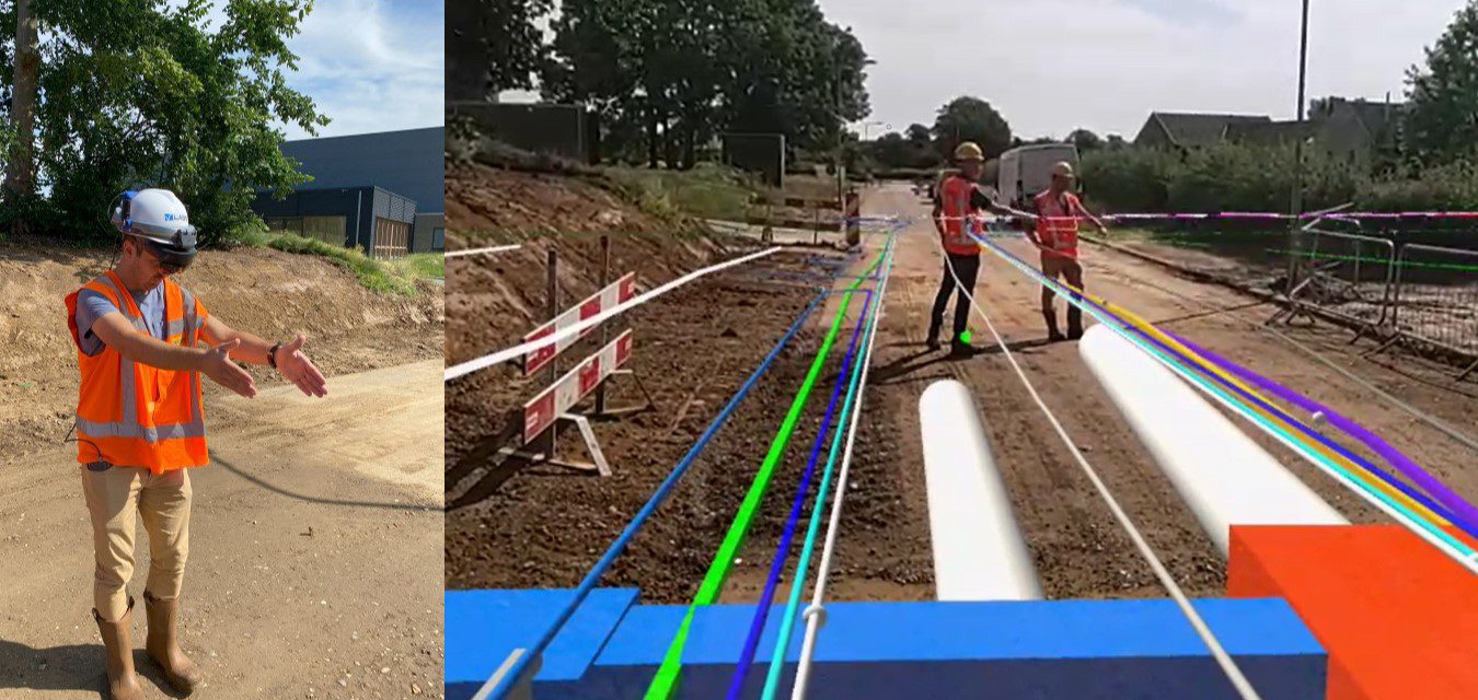
McKinsey research states that “Large projects across asset classes typically take 20 percent longer to finish than scheduled and are up to 80 percent over budget” and that the construction sector is one of the least digitized industries (source).
By using our high precision Augmented Reality technology for Engineering we help the construction sector further digitize its fieldwork. Engineers can visualize their 3D design directly on the construction site with cm accuracy, allowing them to verify the project, avoid costly design errors, build the first time right and reduce delays.
Get in touch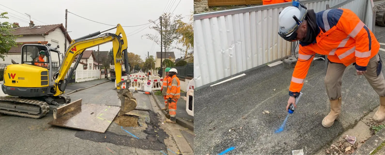
Visualize GIS-data in the field with centimeter accuracy and avoid dangerous damages to underground infrastructures during civil engineering work by using our high precision Augmented Reality technology for geospatial data. Our solution enables field workers to execute surveying tasks and avoid human errors that can lead to incidents.
Get in touch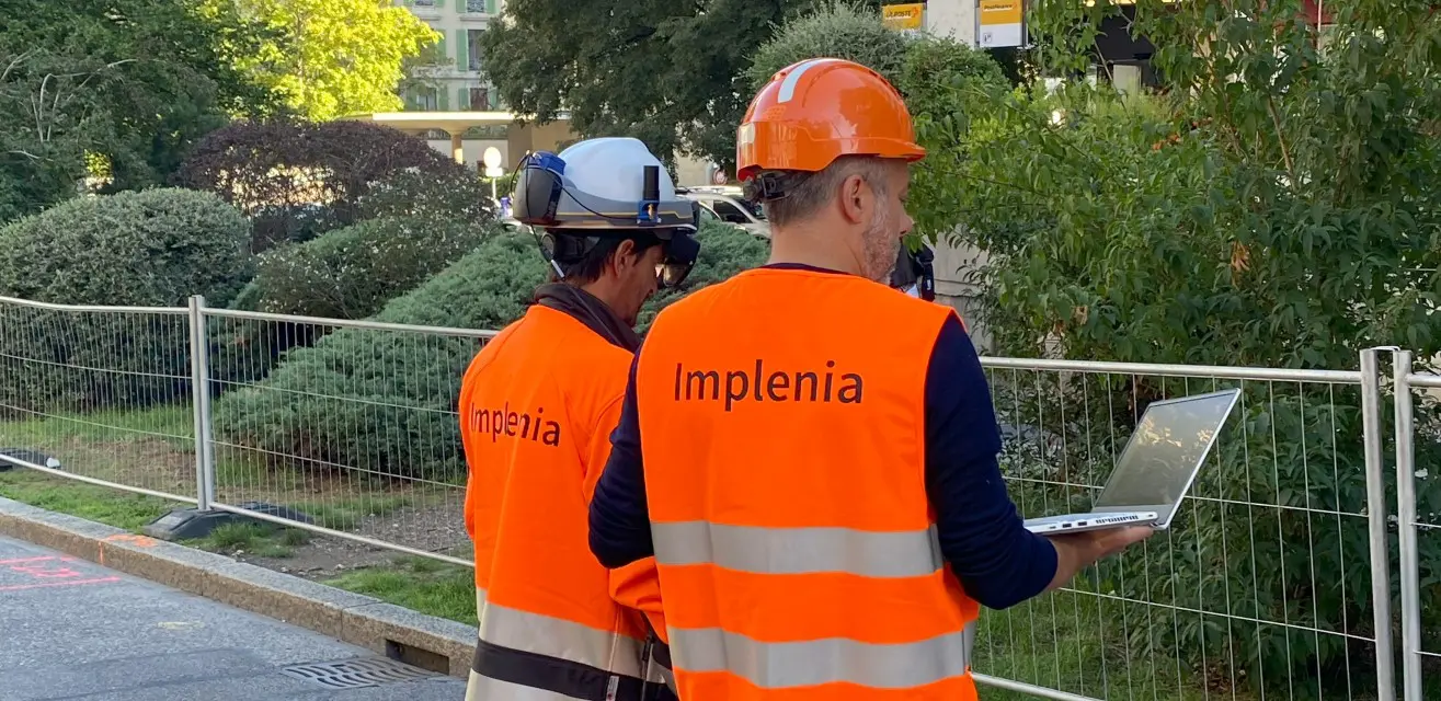
We help the construction sector digitize its field work every step of the way and cover the projects from start to end. With our high precision Augmented Reality solution for geospatial data you can: Visualize your 2D & 3D-engineering plans (CAD, BIM, GIS) on-site with centimeter accuracy, verify and correct any potential design issues, visually share the plans with field operators to simplify communication and create your digital twin at the close-out of the construction project.
Our Augmented Reality technology is an ideal tool to further optimize and digitize your field work.
Get in touchWe help surveyors, contractors and engineers to visualize, modify and acquire geospatial data with centimeter accuracy in the field by using GNSS/RTK-integrated augmented reality glasses.
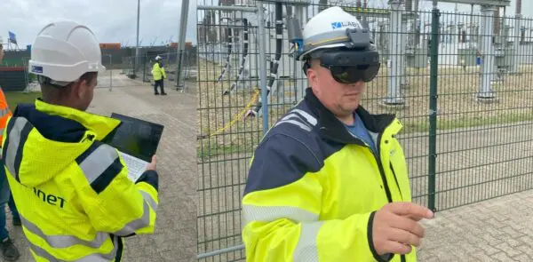
At V-Labs, we help utilities digitize and optimize their field operations through our high precision Augmented Reality solution for work instructions and geospatial data, allowing our customers, such as TenneT to achieve their operational and climate goals.
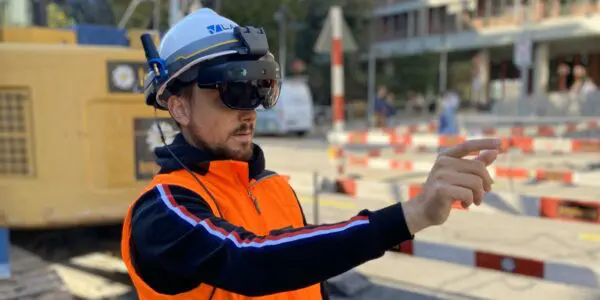
As major contractor, Implenia has innovation as integral part of its strategy, allowing Implenia to actively drive change within the industry and efficiently adapt its business to future needs. As such, Implenia uses Augmented Reality to optimize grid tracing.
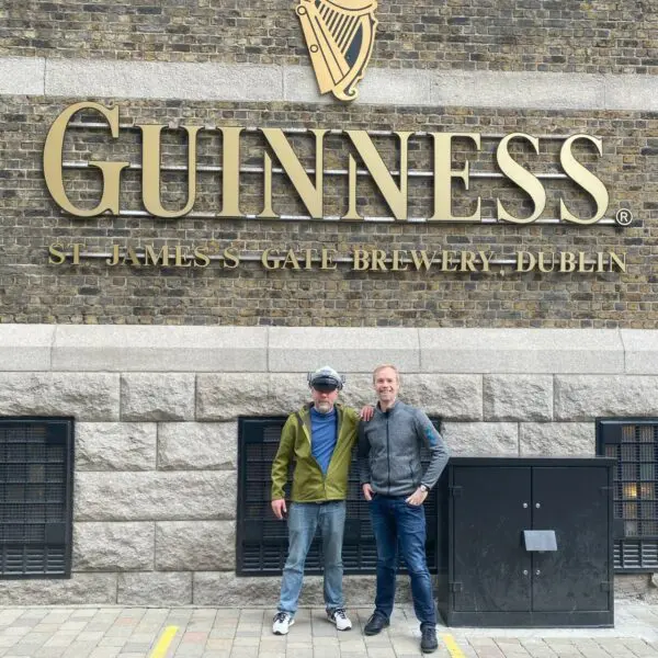
V-Labs was one of the 29 startups selected out of 519 startups from 75 countries that participated in the Free Electrons bootcamp in Ireland: A major opportunity to present our technology and solution to leading utilities in the world.