Reduce costs of surveying
- Simplify surveying
- Outsource tasks to operators
- Reduce CO2-emissions from travel

Simplify and optimize your surveying work by visualizing and measuring geospatial data (GIS & BIM)
in the field with our hands-free, high precision Augmented Reality solution for Surveying.

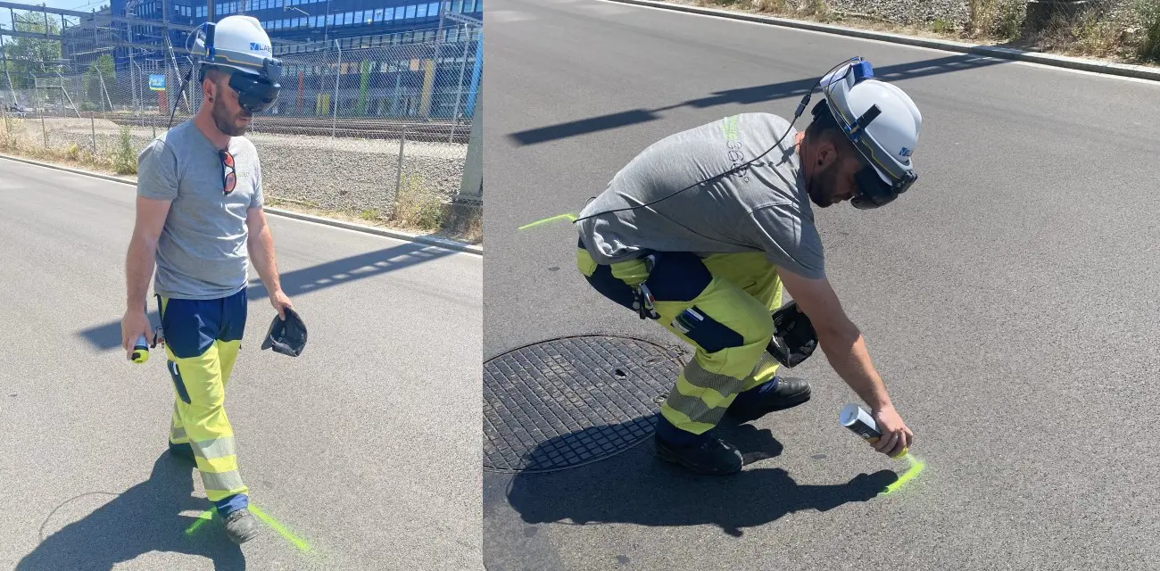
Our hands-free, high precision Augmented Reality solution for geospatial data, enables you to optimize surveying work and outsource simple surveying tasks to operators in the field. For example, with our AR-headset operators can see the GIS-data of the underground infrastructures projected on the ground and simply mark their location before civil engineering works take place. This avoids human errors and reduces costly damages to infrastructures during excavation work.
Our technology supports most standard GIS-data formats, including webmaps from ESRI ArcGIS online and ArcGIS enterprise, allowing our solution to be easily integrated into your IT-processes.
Get in touch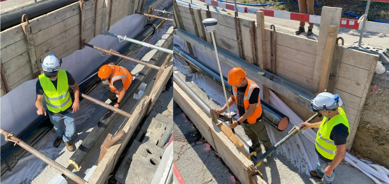
Our hands-free, high precision Augmented Reality solution for geospatial data, allows field workers and surveyors to simply measure GIS-data with centimeter accuracy in the field. Not only does this allow you to optimize surveying work, it only helps you to strongly improve your data quality. By providing field workers and operators with a simple tool to measure GIS-data, you will be able to optimize surveying work and strongly improve your data quality of new and existing assets.
Get in touch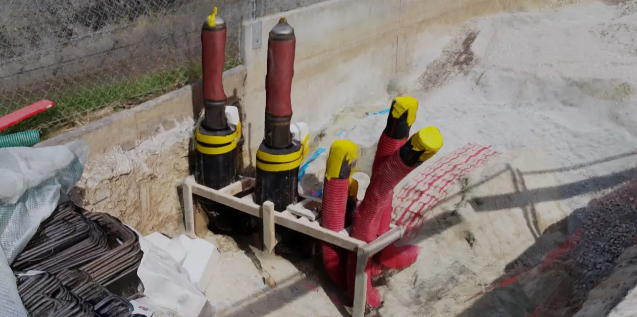
Our Augmented Reality technology allows you to create ideal digital twins of your assets in the field. By combining GNSS/RTK with photogrammetry, we help utilities, contractors and railways to collect accurate data from the field and support them in their need to build digital twins of their assets.
Get in touchWe help surveyors, contractors and engineers to visualize, modify and measure geospatial data with centimeter accuracy in the field by using GNSS/RTK-integrated augmented reality glasses.
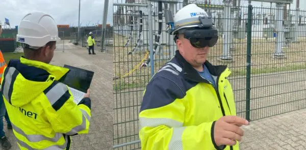
At V-Labs, we help utilities digitize and optimize their field operations through our high precision Augmented Reality solution for work instructions and geospatial data, allowing our customers, such as TenneT to achieve their operational and climate goals.
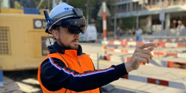
As major contractor, Implenia has innovation as integral part of its strategy, allowing Implenia to actively drive change within the industry and efficiently adapt its business to future needs. As such, Implenia uses Augmented Reality to optimize grid tracing.
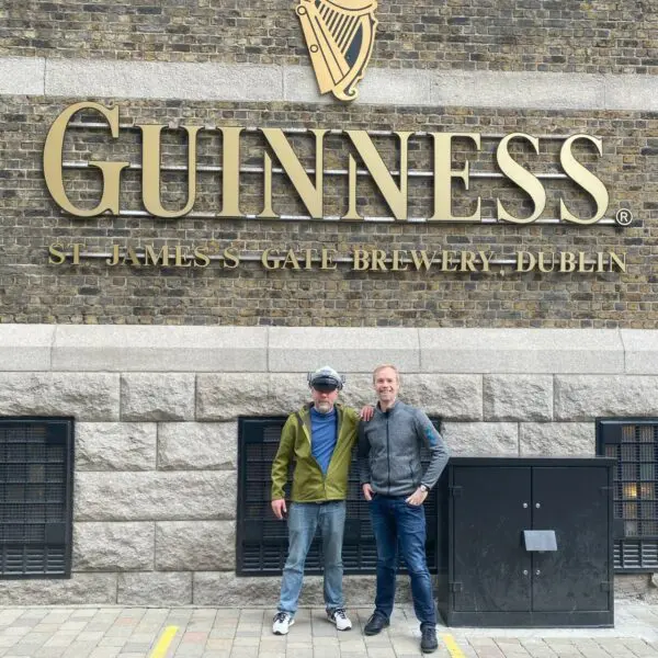
V-Labs was one of the 29 startups selected out of 519 startups from 75 countries that participated in the Free Electrons bootcamp in Ireland: A major opportunity to present our technology and solution to leading utilities in the world.